Isle of Man coastline with lighthouse on headland

Mooir Vannin
The Isle of Man’s first offshore wind farm

Community Consultation now on from
15 July to 11 September 2024

About the project


Ørsted is proposing to develop the Isle of Man’s first wind farm offshore – the Mooir Vannin project. 

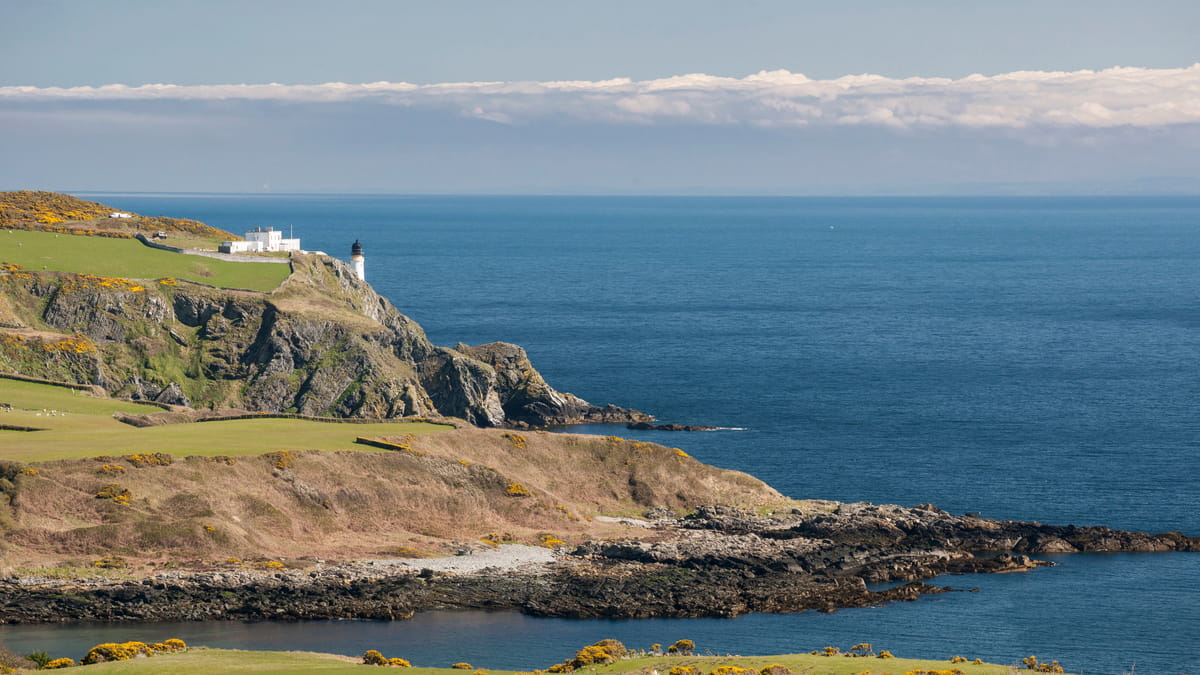
The name Mooir Vannin comes from the Manx language term for the Irish Sea – and literally translates as the ‘sea of the Isle of Man’. This is fitting as we bring forward these plans for the first large scale development in the Isle of Man’s territorial waters, off the coast of Maughold Head. The project will help support the Isle of Man’s ambitious renewable energy, net zero and economic growth targets.

Maughold, Isle of Man

Environmental and technical studies of the area have been underway to determine the scope and scale of the project since the site was awarded to Ørsted in 2015. We’ve completed two years of bird and marine mammal movement studies and in the past year have conducted the most comprehensive survey campaign of seabed conditions ever undertaken in the Island. This summer we will be carrying out extensive community consultation before we intend to submit our application for planning consent to the Isle of Man Government in early 2025.   

Take part in our Community Consultation

Work is also underway to scope how the Mooir Vannin Offshore Wind Farm will connect to the UK National Grid at Penwortham in Lancashire and the Douglas area in the Isle of Man. Further information will be shared  as the project progresses.

Facts about the project

Image of the Isle of Man coastline

Name: Mooir Vannin Offshore Wind Farm
Location: The wind farm will be located in the Irish Sea, within the Isle of Man’s territorial seas, approximately 6-12 nautical miles off the east coast of the Island. 
Capacity: In the region of  1.4 GW
Target to submit planning application: 
Spring 2025
Anticipated operational start date:  Between 2030-2032
Connection Point: Penwortham, Lancashire in the UK and the Douglas area in the Isle of Man


Map showing the Mooir Vannin area for lease


Latest news and updates


Our Community Consultation will run from Monday 15 July to Wednesday 11 September 2024. Everyone is encouraged to take part. All feedback submitted to us will be carefully recorded and considered by our team.

Take part in our Community Consultation 

Project timeline

Image displaying the Mooir Vannin project timeline to operation (2030-2032)

Preliminary Environmental Information


We have been working closely with stakeholders across the Island who have helped us to fully understand the impact of our proposals on the community, economy, and local environment. This is done through an Environmental Impact Assessment (EIA) – the formal way in which we assess all the likely effects of the development, and how we can minimise any potential adverse impacts and enhance positive ones. This engagement has built on the feedback received at our Community Information Events in November 2023 and includes a focus on the following areas: 

What the wind farm will look like 

We have carried out a full Visual Impact Assessment of the Mooir Vannin Offshore Wind Farm. This work includes computer generated images to help understand and visualise what the wind farm could look like from several points along the east coast of the Island. 

Local environment and ecology

We have been working closely with environmental groups on the Island, including Manx Wildlife Trust, Manx Birdlife and Manx Whale and Dolphin Watch, to understand how the project may impact the local ecology. We have carried out a variety of surveys over a number of years to help us get an accurate picture of the species that could potentially be impacted by our proposals, and how we can mitigate this. 

Shipping, navigation and fisheries 

Potential impacts on shipping, navigation and fisheries have been assessed, with input from a range of specialists including The Isle of Man Steam Packet Company, local fish producers and other shipping and ferry operators in the Irish Sea, as well as the Harbours Division of the Department of Infrastructure. This will be followed up by a detailed navigational risk assessment which will show any potential mitigation that may be required to ensure safe navigation and fishing in and around the area. 

Anyone with an interest in understanding more about our Environmental Impact Assessment is welcome to view and comment on our Preliminary Environmental Information (PEI) documents. 

Visit our Document Library to view our PEI documents 

Offshore Wind Turbine
Mooir Vannin Document Library

Discover the details

Visit the document library